


foret

mikaelerouzic
User
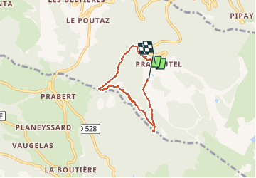

Length
6 km

Max alt
1371 m

Uphill gradient
269 m
Km-Effort
9.7 km

Min alt
1088 m

Downhill gradient
292 m
Boucle
No
Creation date :
2014-12-10 00:00:00.0
Updated on :
2014-12-10 00:00:00.0
2h00
Difficulty : Easy

FREE GPS app for hiking
 SityTrail
IGN / Geographical institutes
SityTrail Plus
The world is yours!
About
Trail Walking of 6 km to be discovered at Auvergne-Rhône-Alpes, Isère, Les Adrets. This trail is proposed by mikaelerouzic.
Description
facile
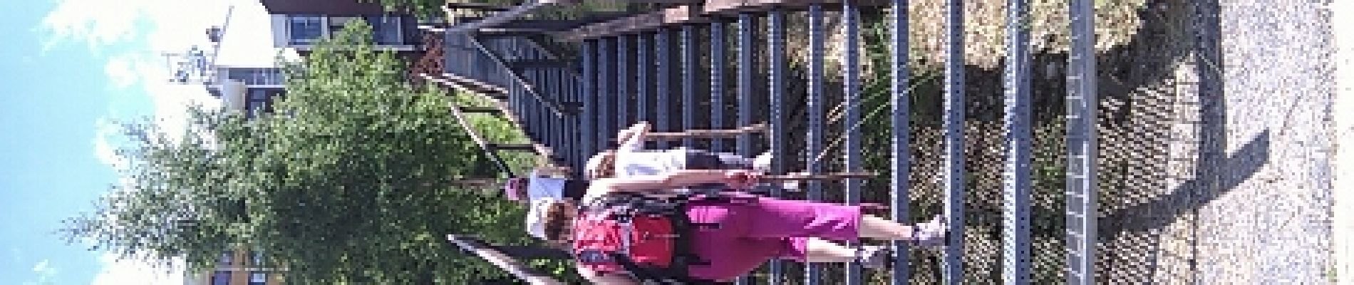
Photos


Positioning
Country:
France
Region :
Auvergne-Rhône-Alpes
Department/Province :
Isère
Municipality :
Les Adrets
Location:
Unknown
Start:(Dec)
Start:(UTM)
734850 ; 5015547 (31T) N.
Comments